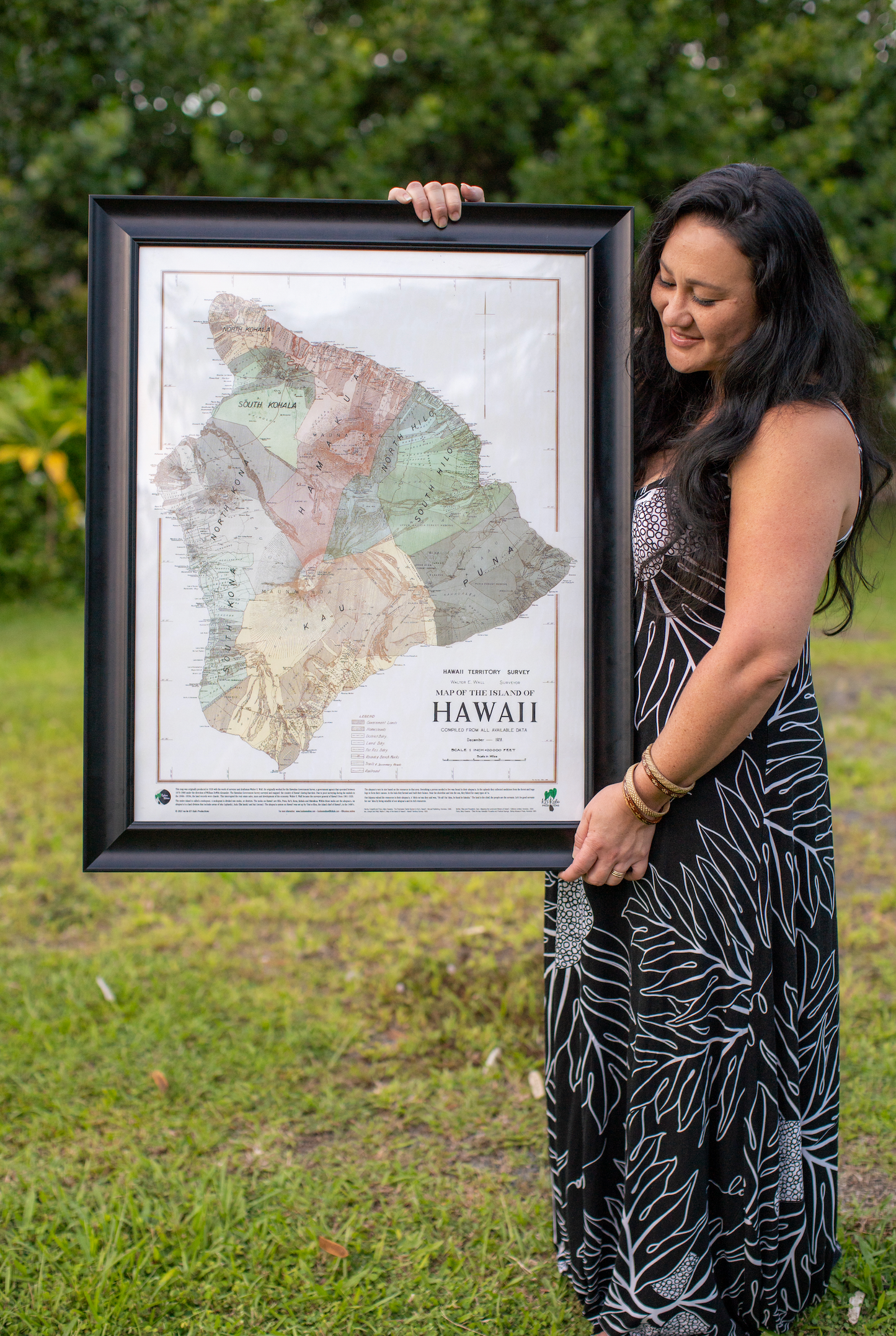
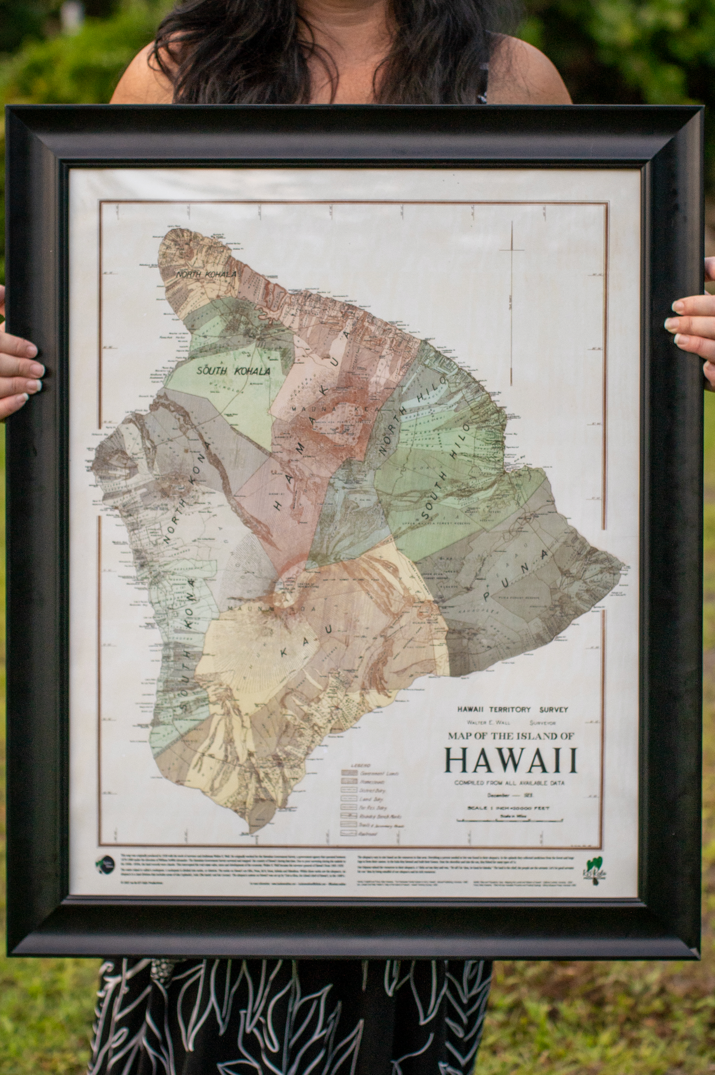
Learn the place names of Hawaiʻi with our reproduced 1928 map from the Hawaiian Government Survey, originally created by surveyor Walter E. Wall. This 22x28-inch poster print that is UV protected.
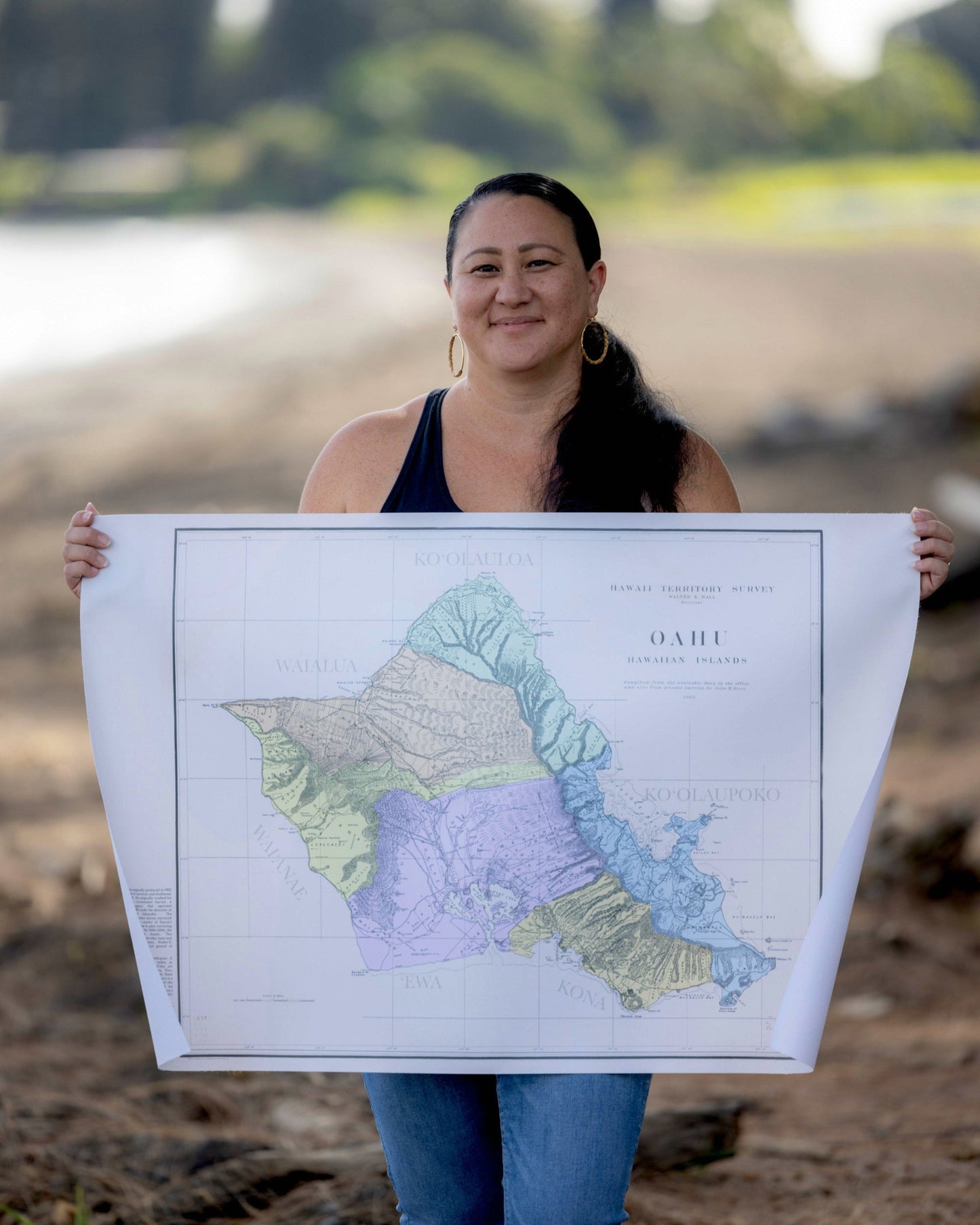
Learn the names of the ahupuaʻa (land division) of Oʻahu with our reproduced 1902 map from the Hawaiian Government Survey, originally created by surveyor Walter E. Wall. This 24x36-inch poster print that is UV protected.
Ideal for framing in your home or classroom, this versatile map provides detailed insights into the island’s landscape and culture, making it perfect for educational environments and family exploration.
*Please keep in mind these will be poster prints. Frame is not included.
*Oʻahu vinyl map is used to show what the map looks like. This product is a poster print.