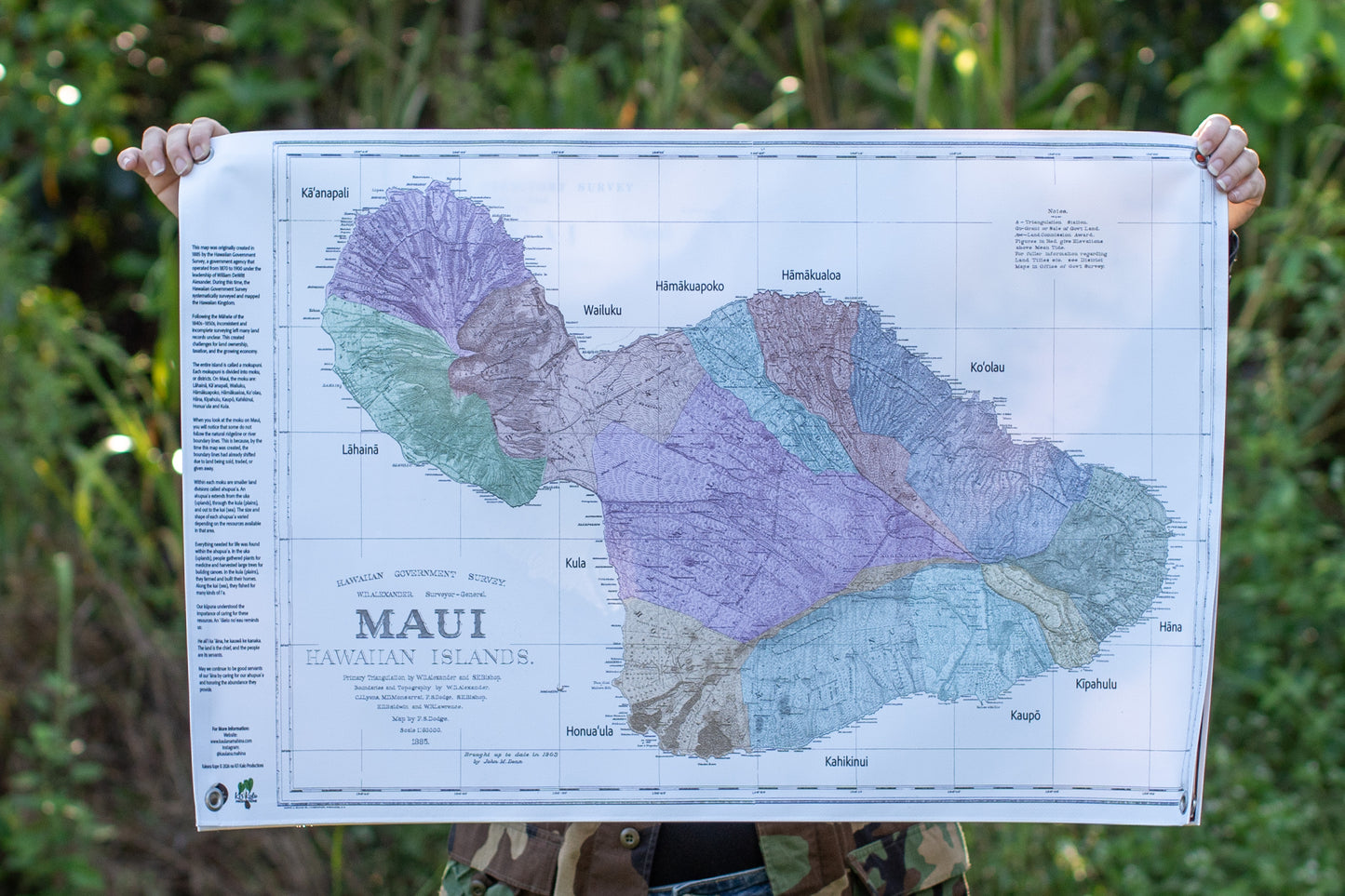
Learn the names of the ahupuaʻa (land division) of Maui with our reproduced 1885 map from the Hawaiian Government Survey, originally created by surveyor W.D. Alexander. This 24x36-inch vinyl print is waterproof, wrinkle-proof, and kid-proof, ensuring durability and easy maintenance. Lay it out for close examination, pin it up for quick reference, or roll it up for convenient storage. Ideal for home, classroom, or outdoor use, this versatile map provides detailed insights into the island’s landscape and culture, making it perfect for educational environments and family exploration.
******Disclaimer About Map Legibility******
Disclaimer About Map Legibility
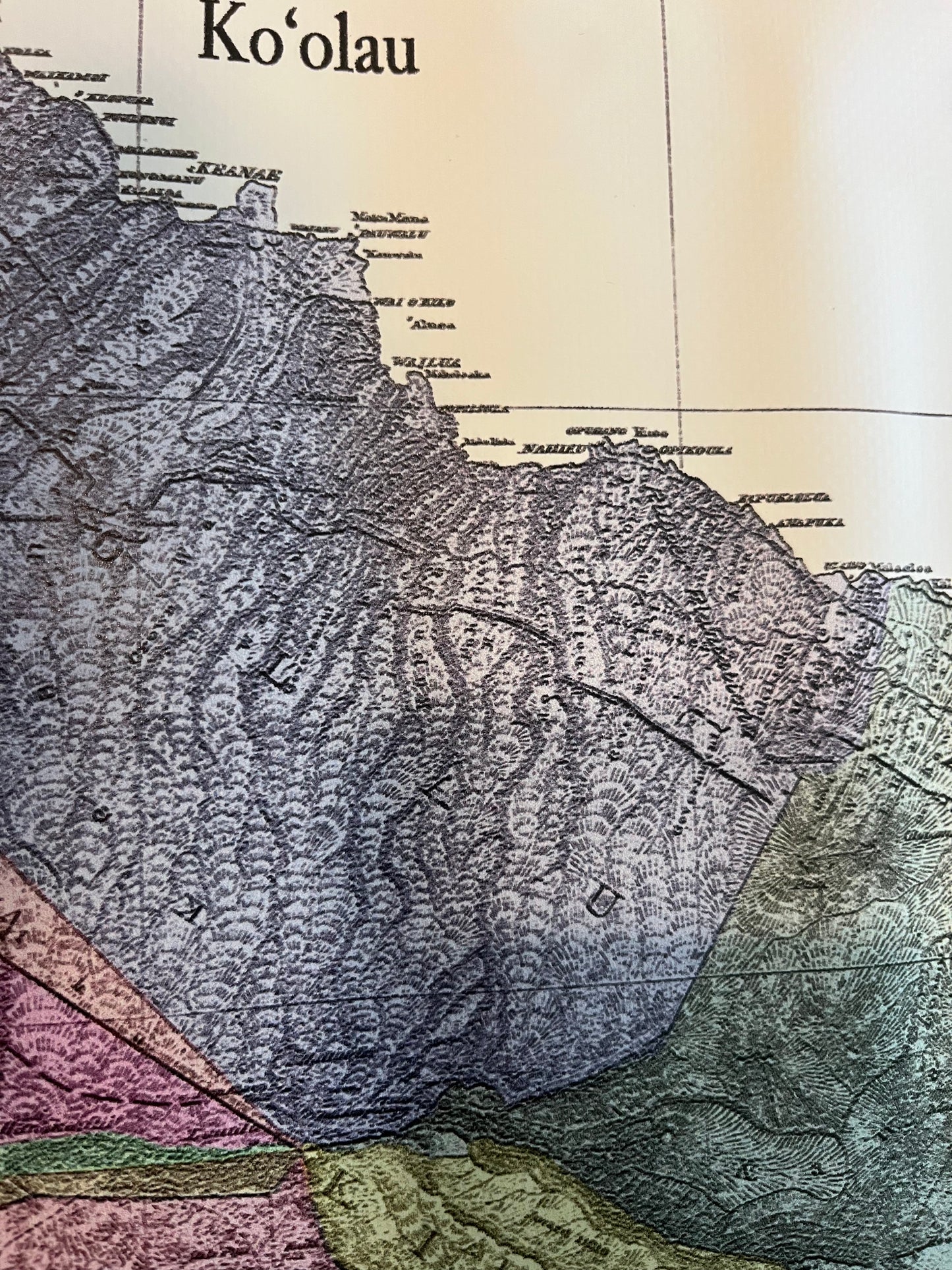
This map is a reproduction of an out-of-print original and has been color-enhanced to preserve its historic character. While we’ve made every effort to improve its visual appeal, particularly the names of the ahupuaʻa—may appear less legible than modern print standards due to the original font used by the Hawaiian Government Survey.
We include a close-up image in the product listing to help you evaluate the level of detail before purchasing.
All sales final. Please review your order carefully before completing your purchase. If you have any questions about a product prior to buying, we’re happy to help — just reach out before placing your order.
Subscribe to our emails
Be the first to know about new collections and exclusive offers.
Choosing a selection results in a full page refresh.